Climate & Environment Data
Delivering commercial-grade climate, agricultural, and environmental data products powered by satellite analytics, IoT sensor networks, and AI-driven decision support — turning raw earth observation into actionable intelligence.
Impact Metric
200+
Datasets
Delivered Across 30+ Clients
Why It Matters
Climate volatility is reshaping agricultural risk at an unprecedented pace, yet most organizations still rely on fragmented, low-resolution, or delayed data to make critical decisions. Satellite revisit gaps, sparse ground sensor networks and siloed datasets mean that by the time risk is visible, the window for action has often closed.
The Climate & Environment Data vertical integrates multi-source satellite analytics, IoT sensor networks and AI-driven modelling into unified, decision-ready data products. From soil health maps and crop monitoring to downscaled climate projections and groundwater mapping, we convert raw earth observation into the actionable intelligence governments, agribusinesses and financial institutions need to act before risk materializes.
10m
Satellite Data Resolution
30+
Enterprise & Govt Clients
Core Service Verticals
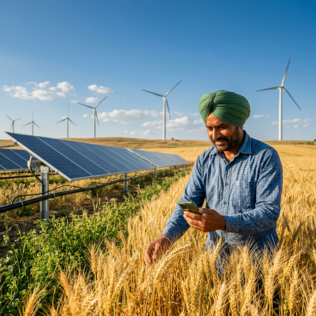
GeoClimate Intelligence
Deliver hyperlocal climate intelligence, soil analytics, and AI-powered insights to improve resilience, productivity, and resource management.
DetailsCarbon as a Service
Measure, manage, and reduce emissions through carbon footprinting, net-zero planning, GHG inventories, and decarbonization strategies.
DetailsDrone as a Service
Capture high-precision aerial data for surveying, mapping, terrain analysis, and project monitoring to support informed decision-making.
DetailsTalk to an Expert
Receive a strategic assessment of your current climate and environmental data infrastructure.
Detailed Capabilities
End-to-end satellite analytics pipeline covering acquisition, processing, and delivery of crop intelligence at scale.
Data Acquisition
- Multi-satellite tasking (optical & SAR)
- NDVI/EVI time-series processing
- Cloud-free composite generation
- Field boundary delineation
Analytics & Modelling
- Crop health & stress detection
- Yield estimation models
- Soil moisture & health mapping
- Anomaly & change detection
Delivery & Integration
- API & dashboard integration
- Custom report generation
- Alerting & notification systems
Vertical Insights
Expert perspectives on satellite analytics, climate data and decision intelligence.
Climate Finance
The Global Carbon Credit Trading Scheme: What Agriculture Stakeholders Must Know in 2026
February 20, 2026 · 8 min read
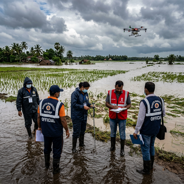
Disaster Management
How Drone Technology is Revolutionizing Crop Loss Assessment globally
February 15, 2026 · 6 min read
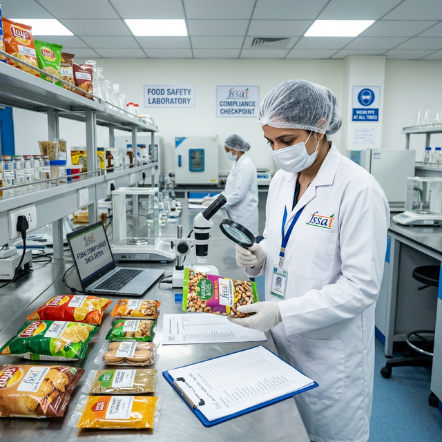
Food Compliance
FSSAI Regulation Updates 2026: Key Changes Every Food Business Must Implement
February 10, 2026 · 5 min read
Ready to navigate the climate transition?
Subscribe to our monthly advisory briefing for strategic insights.