Drone as a Service (DaaS)
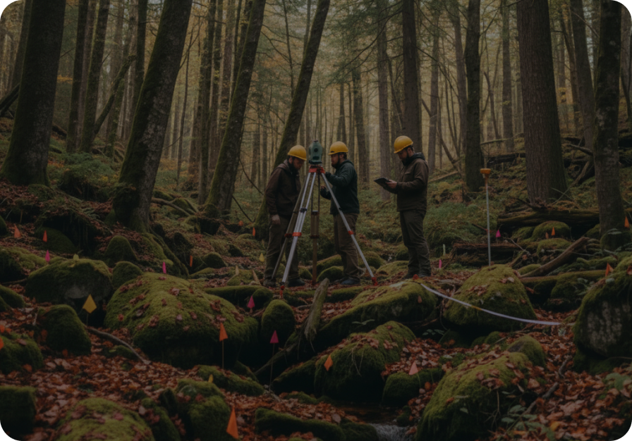
We provide high-precision aerial surveying and mapping solutions that deliver actionable site intelligence for planning, design, construction monitoring, and asset management. Using advanced drone-based data collection and spatial analytics, we help organizations make informed decisions across the project lifecycle.

What We Offer

Aerial Survey & Mapping
- Terrain & Infrastructure Mapping
- AI-Powered Feature Detection
- Orthophotos, DEMs & DTMs
- High-Accuracy Spatial Surveys
Topographic and Contour Survey
- Drone-Based Volume Estimation
- Topographic & Contour Mapping
- Mining Survey & Reporting
- Planning & Design Support
Contact Details
Phone
+91 87650 85225
info@geotattvam.com
Address
6th Floor, Worldmark 2, Aerocity, New Delhi – 110037, India
Get to Know Us
Discover our offices
View our global locationsReady to navigate the climate transition?
Subscribe to our monthly advisory briefing for strategic insights.