Water Resource Management
Advancing sustainable water security through integrated hydrogeological expertise and robust regulatory compliance. We navigate the complex intersection of environmental stewardship and operational requirements.
Impact Metric
0M+
Liters
Managed Annually
Why It Matters
India extracts 245.64 BCM of groundwater annually with 87% for agriculture while 11% of assessment units are over exploited. Over 85% of rural drinking water depends on groundwater yet only 690 BCM of surface water is utilizable. Without a proper geo hydrological survey and scientific borewell site selection, drilling risks dry wells and depletion. This vertical replaces guesswork with data driven accuracy.
The Water Resource Management vertical offers integrated solutions spanning groundwater and surface water surveys, hydrological modelling, environmental assessments and regulatory compliance support. We combine scientific investigations, data driven modelling and regulatory foresight to secure reliable yields, reverse depletion and ensure long term water security, compliance and resilience.
0+
Groundwater Surveys Completed
0%
CGWA / NOC Compliance Rate
This service contributes to SDG 6 and SDG 15 by delivering advanced hydrogeological mapping, multi-method geophysical surveys, and predictive groundwater flow simulations. By mapping aquifer stress indices, supervising sustainable yield optimizations, and engineering artificial recharge frameworks, our platform eliminates localized drilling vulnerabilities, remediates cross-border contamination hazards, and actively protects vital terrestrial and aquatic ecosystems from environmental degradation.

Core Service Verticals
Integrated Groundwater Services
Comprehensive analysis of subsurface water systems for extraction and recharge. Ensuring technical precision and regulatory adherence across all project phases.
DetailsGeophysical Survey
Mapping the invisible with precision geophysical instruments and data modeling.
DetailsWater Resource Modelling
Dynamic flood modeling and drainage strategy for urban and industrial clusters.
DetailsEnvironment Assessment
Ensuring your operations meet every local and national environmental benchmark. Full lifecycle support for regulatory adherence.
DetailsTalk to an Expert
Receive a strategic assessment of your current Water Resource Management posture.
Frequently Asked Questions
Groundwater availability cannot be determined accurately through guesswork. Hydrogeological and geophysical investigations help identify aquifer characteristics, groundwater potential, and suitable drilling locations, significantly improving the chances of successful water extraction.
Vertical Insights
Expert perspectives on the evolving food regulatory landscape.
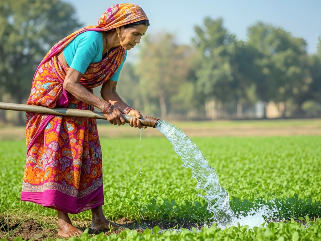
Sustainable Agricultural Irrigation
Optimizing groundwater extraction to ensure long-term crop yield and rural water security...
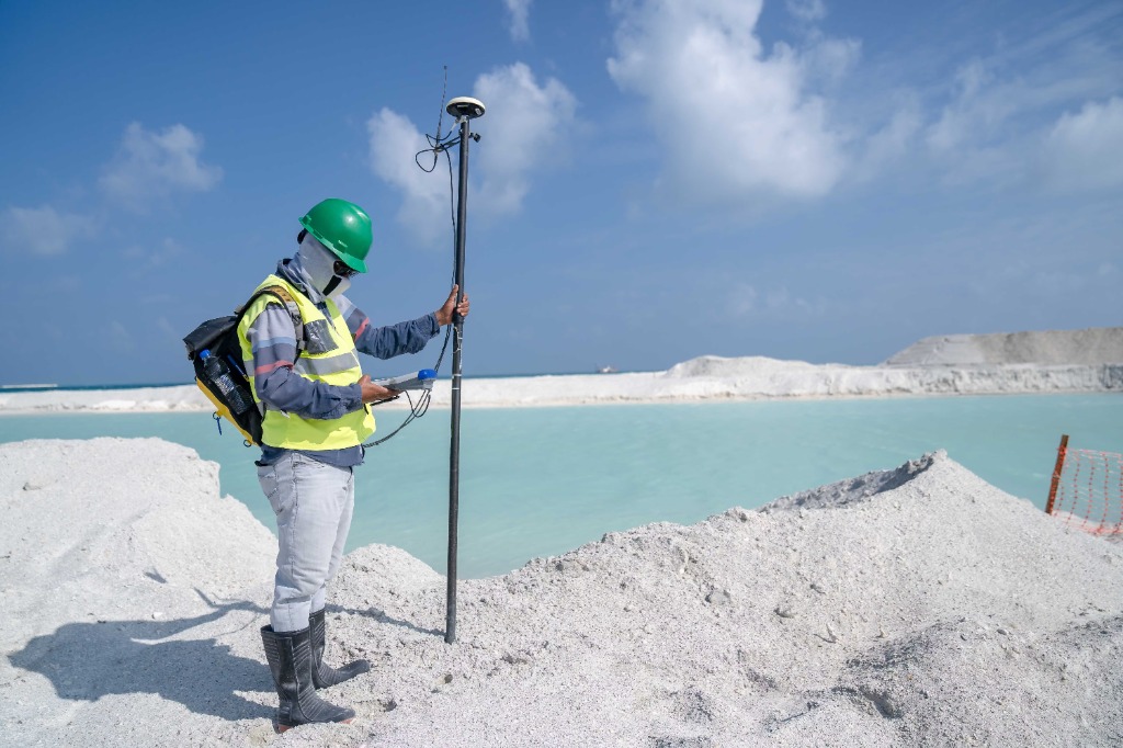
Precision Geophysical Surveys
Leveraging advanced geophysical tools to accurately map subsurface water resources...
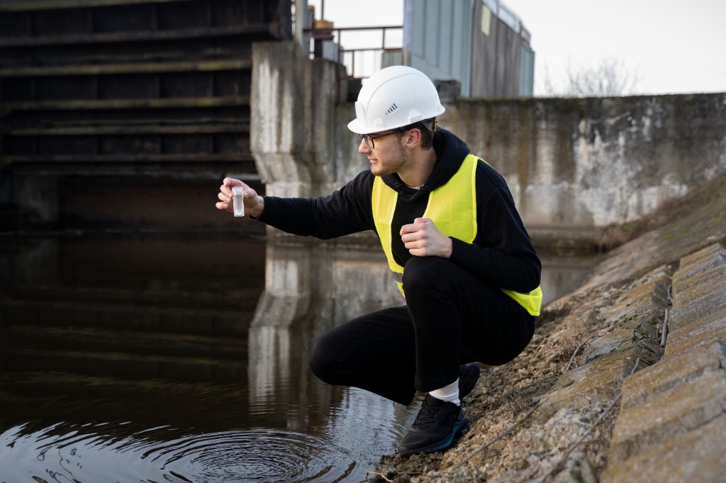
Rigorous Water Quality Sampling
Ensuring regulatory adherence and environmental health through meticulous water testing...
Ready to navigate the climate transition?
Stay updated with our latest insights, strategic reports, and global climate trends delivered to your inbox.