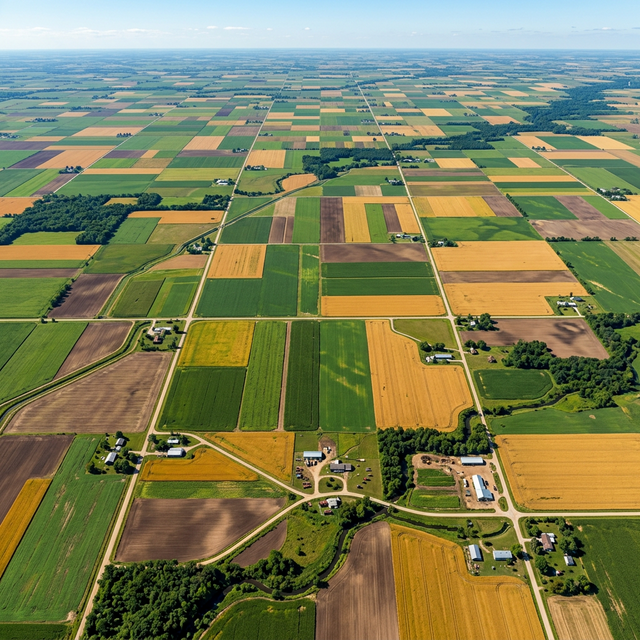
Our global agricultural landscape spans 140 million hectares across 15 agro-climatic zones—making it one of the most diverse and complex farming systems in the world. Satellite remote sensing is providing the eyes in the sky that farmers and policymakers need to manage this complexity.
The Satellite Data Revolution
Our global space program, led by ISRO, now offers agricultural stakeholders access to unprecedented data streams:
RESOURCESAT-2A & 3
- 5.8m resolution multispectral imagery
- 23-day revisit cycle for crop monitoring
- LISS-4 sensor for detailed field-level mapping
Cartosat-3
- Sub-meter panchromatic imagery
- Infrastructure and boundary mapping
- Post-disaster damage assessment
INSAT-3D/3DR
- Real-time weather monitoring
- Rainfall estimation at district level
- Cyclone and storm tracking
Applications in Global Agriculture
1. Crop Health Monitoring
Using NDVI, EVI, and SAVI indices derived from multispectral imagery, farmers can detect:
- Water stress 7-10 days before visual symptoms appear
- Nutrient deficiency patterns across large fields
- Pest and disease hotspots from spectral anomalies
- Yield estimation 4-6 weeks before harvest
2. Soil Moisture Mapping
Microwave sensors like RISAT-1 penetrate cloud cover and vegetation canopy to estimate soil moisture content, enabling:
- Irrigation scheduling optimization
- Drought early warning at taluk level
- Groundwater recharge zone identification
3. Weather-based Advisory
Combining satellite weather data with crop growth models generates localized advisories for:
- Optimal sowing windows based on monsoon onset prediction
- Spray timing for pest management (avoiding rainfall)
- Harvesting decisions based on 5-day weather forecasts
4. Crop Area and Yield Estimation
Government agencies use satellite data to estimate:
- State and district-level crop area under cultivation
- Expected production for food security planning
- Crop diversification trends over time
Making Data Accessible
The challenge has always been converting satellite data into actionable farm-level recommendations. GeoTattvam bridges this gap by:
- Downscaling coarse satellite data to 10-meter resolution field boundaries
- Integrating satellite indices with ground-truth soil testing results
- Delivering mobile-friendly advisories in local languages
- Training FPO leaders to interpret and act on data dashboards
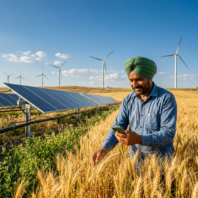
With satellite constellation costs dropping and processing power increasing, precision agriculture is no longer a luxury for large farms—it's becoming accessible to every smallholder worldwide.