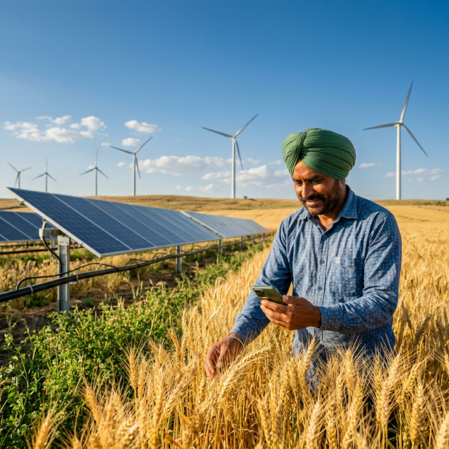
The Pradhan Mantri Fasal Bima Yojana (PMFBY) has long relied on traditional Crop Cutting Experiments (CCEs) to assess crop losses—a process that is time-consuming, labor-intensive, and often inaccurate. Drone technology is transforming this landscape completely.
The Problem with Traditional Assessment
Traditional CCEs involve manual sampling of crops in randomly selected plots, requiring weeks of fieldwork by trained assessors. Key challenges include:
- Time delays: Assessment results can take 3-6 months, delaying relief payments to affected farmers
- Sampling bias: Random sampling may miss localized damage patterns
- Human error: Manual measurement introduces inconsistencies
- Limited coverage: Only 30-40% of affected areas are typically surveyed
How Drones Change the Game
Modern agricultural drones equipped with multispectral and thermal sensors can survey hundreds of hectares in a single day, providing:
1. Rapid Damage Mapping
RGB and multispectral imagery at 2-5cm resolution allows pixel-level damage classification. Post-flood or post-drought surveys that previously took weeks now complete in 48-72 hours.
2. Vegetation Health Indices
NDVI (Normalized Difference Vegetation Index) and other spectral indices quantify crop health with scientific precision, removing subjectivity from loss estimation.
3. AI-Powered Analysis
Machine learning algorithms trained on thousands of damage patterns can automatically classify damage severity, crop type, and loss percentage with 90-95% accuracy.
4. Geo-tagged Evidence
Every image is GPS-tagged and timestamped, creating an auditable evidence trail for insurance claims and government relief assessment.
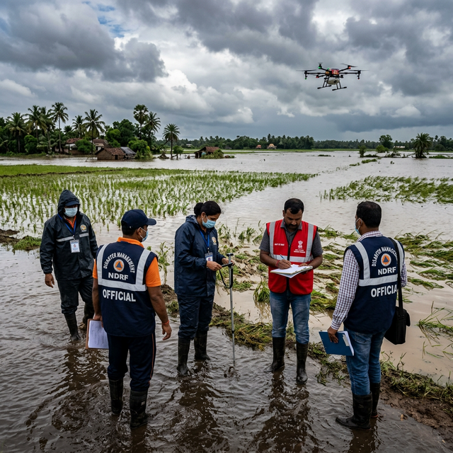
Real-World Impact
In our recent deployment across Maharashtra's flood-affected Kolhapur and Sangli districts:
- 450,000 hectares surveyed in just 12 days
- 95% accuracy in crop loss estimation compared to ground truth data
- 45% faster claim settlement compared to traditional CCE process
- ₹2,300 crore in insurance payouts facilitated
The Future of Crop Assessment
As India moves toward smartphone-based claim filing and satellite-linked insurance products, drone technology serves as the critical middle layer—providing the resolution that satellites cannot achieve and the speed that ground surveys cannot match. By 2027, we expect 80% of PMFBY assessments to incorporate some form of aerial survey technology.