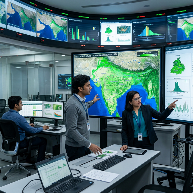
Fragmented Climate Data
Without reliable, verified data, planning and risk management becomes guesswork. We bring satellite, drone and ground data together into decision-ready climate intelligence.
Request a ConsultationWhy Climate Data Falls Short
Data exists across agencies, sensors and spreadsheets — but rarely in a form that decision-makers can trust or act on.
Scattered Sources
Weather, land, water and emissions data sit in separate systems with different formats and resolutions.
Unverified Quality
Gaps, inconsistencies and unvalidated datasets undermine confidence in risk assessments and reports.
Outdated Information
Static, infrequent surveys miss fast-changing conditions on the ground.
No Link to Decisions
Raw data rarely translates into the indicators, maps and alerts that planners actually need.
How GeoTattvam Closes the Gap
GeoClimate Intelligence
Satellite-driven analytics and geospatial insights for climate risk and land-use planning.
Drone as a Service
High-resolution aerial surveys, mapping and monitoring for precise field-level data.
Carbon as a Service
Measurement, tracking and verification of emissions and carbon stocks.
From Raw Data to Decisions
- 1
Collect
Gather satellite, drone, sensor and field data for your area of interest.
- 2
Validate
Clean, verify and harmonise datasets into a single trusted source.
- 3
Analyse
Model risks, trends and indicators using geospatial analytics.
- 4
Deliver
Provide dashboards, maps and reports that drive planning decisions.
Ready to navigate the climate transition?
Stay updated with our latest insights, strategic reports, and global climate trends delivered to your inbox.